. . .
.

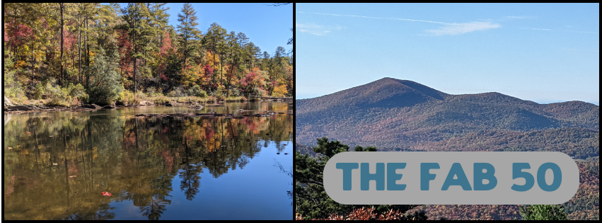
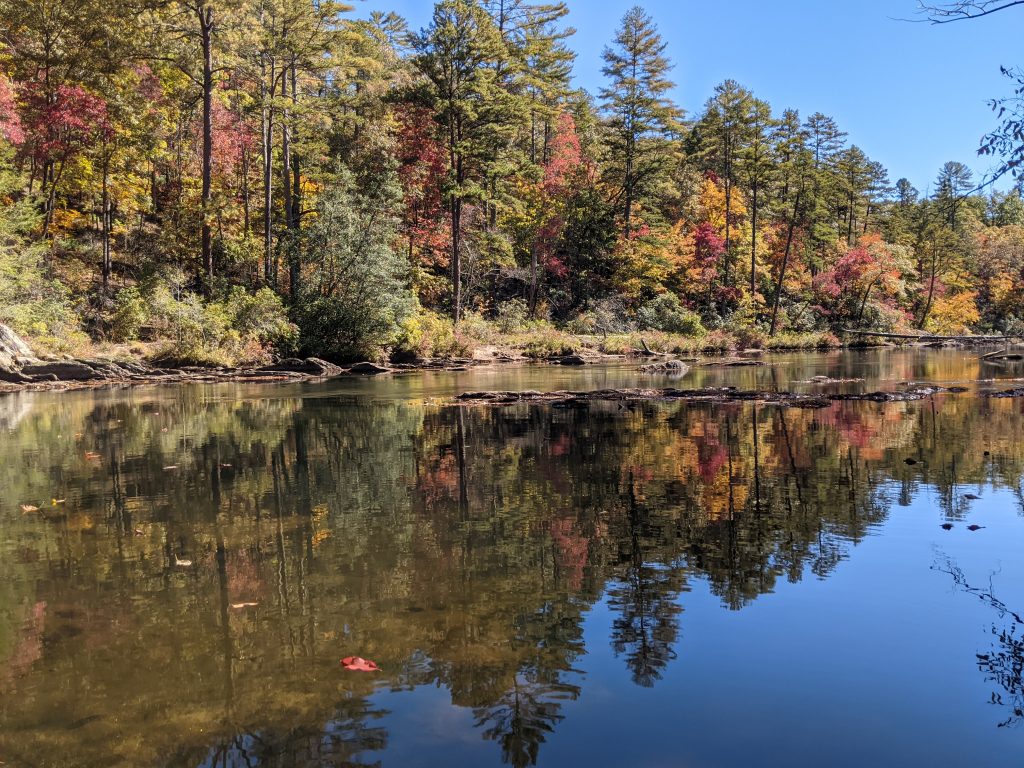
Running from the Wild & Scenic Chattooga River in South Carolina to Rabun Bald (2nd highest point in Georgia), this ~50-mile thru-hike offers plenty of scenery in a challenging yet doable thru-hike. This trail works well in either direction, but if hiking from east to west, you’ll begin at Burrells Ford on the Chattooga River. Follow the Foothills Trail for 8 miles before reaching the Chattooga River Trail. A 4.5-mile hike along the Chattooga will take you to the great state of Georgia, where you’ll hike the entire Georgia section of the Bartram Trail, culminating with 360 degree views from the summit of Rabun Bald. If you hike the FAB 48, please send any links to trail journals, YouTube videos, etc. to mflege@ugata.org so we can share them on this page!
Planning Resources
Eastern Terminus: Burrells Ford Foothills Trail Access
Western Terminus: Hale Ridge Rd Bartram Trail Access
Click here for the interactive FAB overview map on CalTopo.
Click here to purchase the official Foothills Trail guidebook & map.
Click here for free a printable topo map of the Chattooga River Trail.
Click here to purchase the official Bartram Trail guidebook & map.


